Xander Lang · 11 September 2026
Kiesfeld's Shifting Landscapes: How Gravel Extraction, Water Dynamics, and Job Growth Intersect with Historical Land Patterns
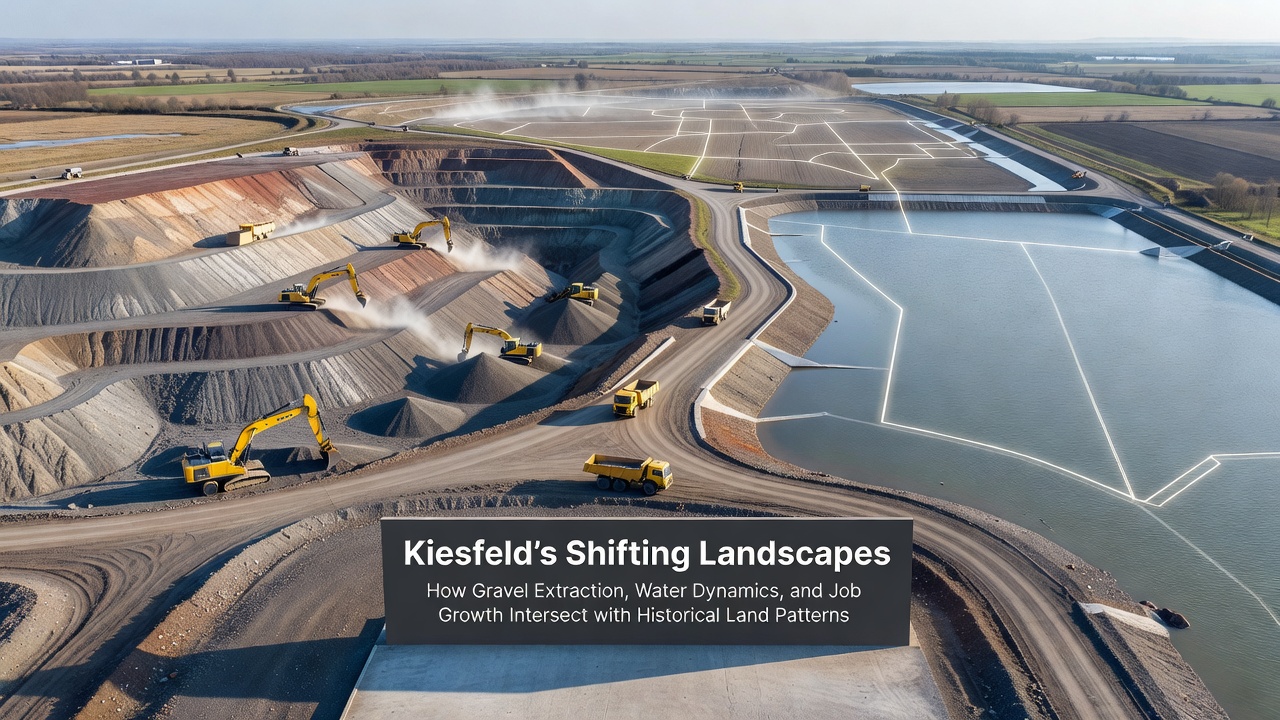
Gravel extraction has reshaped portions of the Kiesfeld region over decades, and observers note how these activities connect directly to changes in local water systems along with employment opportunities that build on older land use traditions. Historical records show that agricultural fields and forested areas dominated the landscape before the mid-twentieth century, when demand for construction materials prompted initial quarrying operations that followed existing river valleys and glacial deposits.
Historical Land Use Patterns in Kiesfeld
Land surveys from the 1800s document a patchwork of small farms and communal grazing zones across Kiesfeld, patterns that reflected soil quality and proximity to waterways. Those early divisions continue to influence where extraction companies receive permits today because modern regulations often require alignment with pre-existing boundaries to minimize disruption to remaining agricultural zones. Researchers at regional universities have mapped these continuities using archival maps and satellite data, revealing that many active pits occupy sites once used for seasonal flooding management.
Current Gravel Extraction Operations
Extraction volumes in Kiesfeld reached approximately 2.3 million cubic meters annually according to industry reports compiled through 2025, with operations concentrated along the eastern terraces where gravel layers sit closest to the surface. Companies employ excavators and conveyor systems that process material on site before transport to nearby construction projects, and this method reduces road wear compared with older haulage practices. Data from local planning offices indicate that expansions approved in recent years have added roughly 85 hectares to permitted areas, yet operators must restore sections progressively to maintain compliance with environmental standards.
Water Dynamics and Extraction Impacts
Groundwater levels respond to pit depths because many excavations extend below the water table, creating temporary lakes that alter local hydrology. Monitoring stations installed by regional authorities record fluctuations of up to 1.2 meters in adjacent wells during active phases, while restored sites often stabilize at new equilibrium points that support different vegetation communities. Studies conducted by the European Environment Agency highlight similar patterns across comparable European deposits, noting that careful dewatering techniques and recharge basins can limit downstream effects on streams that feed into larger river systems.
Employment Trends and Economic Connections
Job figures from the Kiesfeld labor office list around 420 direct positions tied to gravel operations in 2025, with additional roles appearing in transport, equipment maintenance, and environmental monitoring. These opportunities often attract workers whose families have maintained ties to the land for generations, creating continuity between historical farming communities and current industrial activities. Projections compiled for September 2026 anticipate a modest increase of 35 positions if two pending permits receive final approval, while restoration contracts are expected to sustain seasonal crews focused on soil replacement adn habitat creation.
Intersections Between Extraction, Water, and Historical Patterns
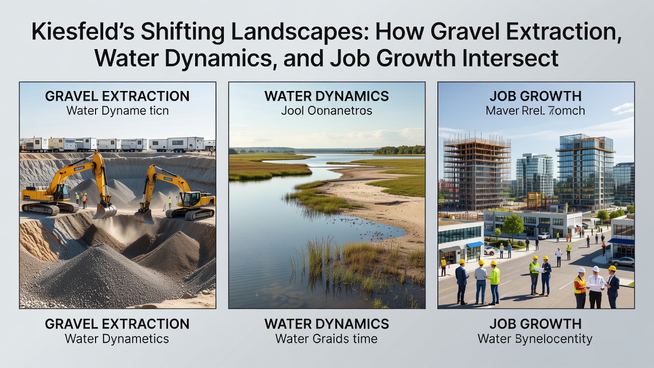
Planners integrate data on historical field boundaries when designing pit layouts, which allows extraction to follow natural contours that already channel surface water. This approach reduces the need for new drainage infrastructure and preserves segments of older hedgerows that once separated farm plots. Evidence from ongoing projects shows that sites restored with reference to pre-extraction topography support faster recolonization by native species, while water retention features echo the function of historical mill ponds that regulated flow for downstream users. Observers point out that these layered considerations produce landscapes that retain traces of multiple eras rather than erasing earlier configurations entirely.
Regulatory Framework and Future Outlook
Permitting processes require operators to submit hydrological models and restoration timelines that address both immediate extraction needs and long-term land stability. Figures released by the state environment ministry indicate that 78 percent of Kiesfeld pits now operate under updated plans that incorporate real-time water level sensors linked to public dashboards. Such measures build on earlier policies while responding to increased scrutiny of groundwater resources across the broader region. Continued monitoring through 2026 and beyond will provide further records of how these intersecting factors evolve together.
Conclusion
Kiesfeld demonstrates how gravel extraction, water systems, and employment patterns continue to interact with land divisions established centuries ago, and records maintained by local agencies document measurable outcomes from these overlaps. The combination of progressive restoration requirements and employment data offers a clear picture of ongoing adaptation within the existing regulatory structure.